
100% Online
Complete your Penn State course work at your own pace and 100% online.
Application deadline
Credits and costs
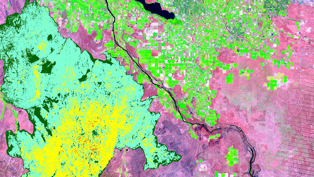
Gain Skills to Influence Major Environmental and Social Change
Identify the cumulative effects of changes in population, climate, and biodiversity and their impacts on food and water.
Understand geographic space in its broadest context, including temporal, cultural, economic, and other social and environmental systems.
Apply key design methodologies specific to geospatial issues, such as systems thinking, and view design as an operations/resources problem.
Combine design with relevant science-based and value-based information to explore alternative solutions from a cross‐disciplinary, decision-driven approach.
Develop and apply ethical frameworks to appropriately evaluate culturally, socially, and economically diverse environments.
Start or Advance Your Career
Start or Advance Your Career
The geodesign graduate certificate can prepare you to work in a variety of design and planning roles. Demand for the services of professionals in these roles will continue to rise, driven by increasing public demand for more sustainably designed places, smart risk management, and informed environmental justice.

Ready to Learn More?
Get the resources you need to make informed decisions about your education. Request information on this program and other programs of interest by completing this form.
Who Should Apply?
Current and aspiring professionals from a variety of backgrounds who are employed in a government agency, business, or nonprofit organization and see the limitations in how regional and urban planning and design challenges are now addressed can benefit from this program.
You must have a bachelor’s degree from an accredited institution to apply.
A Head Start toward a Master's Degree

A Head Start toward a Master's Degree
Not only can this program help create opportunities in your career, it can also give you a solid head start toward a full master’s degree.
Convenient Online Format
This program's convenient online format gives you the flexibility you need to study around your busy schedule. You can skip the lengthy commute without sacrificing the quality of your education and prepare yourself for more rewarding career opportunities without leaving your home.
A Trusted Leader in Online Education

Penn State has a history of more than 100 years of distance education, and World Campus has been a leader in online learning for more than two decades. Our online learning environment offers the same quality education that our students experience on campus.
Information for Military and Veterans
Are you a member of the military, a veteran, or a military spouse? Please visit our military website for additional information regarding financial aid, transfer credits, and application instructions.
How to Apply to Penn State

How to Apply to Penn State
Apply by January 7 to start January 12
Contact Us

Contact Us
Have questions or want more information? We're happy to talk.


